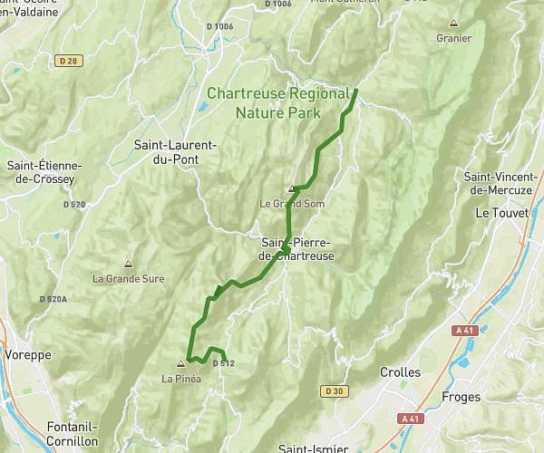
This running route covers 3.473mi starting from Charnècles, Isère. The run is a loop trail and returns to the trailhead. This run is rated as easy, expect about 50m to complete it. The route has an elevation gain of 138ft and an elevation loss of 174ft.
Moirans
Route details
4.17mph
Speed
572 kcal
Calories burned
Loop trail
Route type
866ft
Min altitude
1004ft
Max altitude
Route profile
138ft
Elevation gain
174ft
Elevation loss
866ft
Min altitude
1004ft
Max altitude
How to get there
Trailhead: 705 Route De Moirans, 38140 Charnècles, France
GPS coordinates of the trailhead: 45.338176, 5.537137 / 45°20'17'' N, 5°32'13'' E