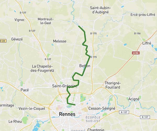
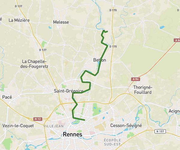
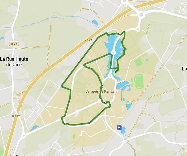
This hiking trail covers 8.889mi starting from Le Rheu, Ille-et-Vilaine. The hike is a loop trail and returns to the trailhead. This hike is rated as easy, plan for about 2h20m to complete it. The route has an elevation gain of 230ft and an elevation loss of 230ft.
Le Rheu
Route details
3.81mph
Speed
988 kcal
Calories burned
1.0%
Avg grade
Loop trail
Route type
75ft
Min altitude
141ft
Max altitude
Route profile
230ft
Elevation gain
230ft
Elevation loss
75ft
Min altitude
141ft
Max altitude
How to get there
Trailhead: Rue De Galerne, 35650 Le Rheu
GPS coordinates of the trailhead: 48.09553, -1.80454 / 48°5'43'' N, 1°48'16'' W