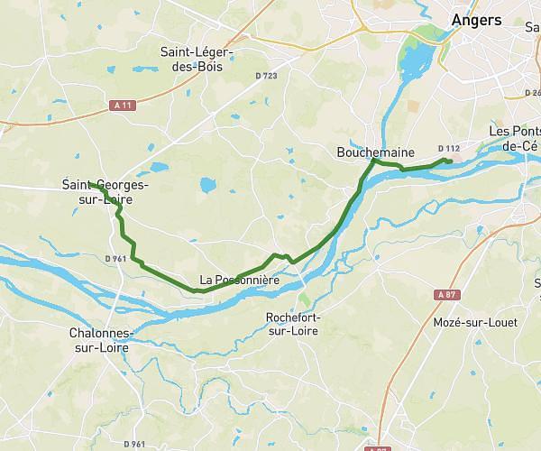
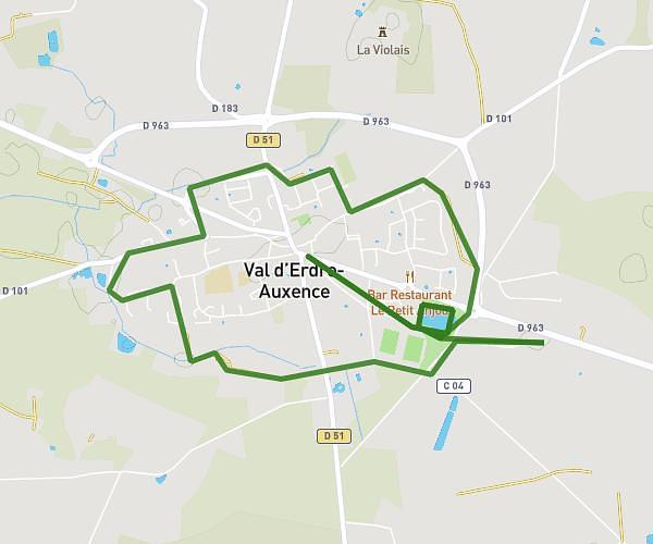
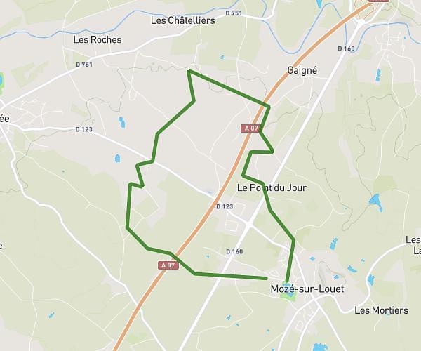
This running route covers 13.372mi starting from Avrillé, Maine-et-Loire. The run is a loop trail and returns to the trailhead. This run is rated as strenuous, expect about 2h5m to complete it. The route has an elevation gain of 131ft and an elevation loss of 105ft.
Semi marathon
Route details
6.42mph
Speed
1429 kcal
Calories burned
Loop trail
Route type
69ft
Min altitude
187ft
Max altitude
Route profile
131ft
Elevation gain
105ft
Elevation loss
69ft
Min altitude
187ft
Max altitude
How to get there
Trailhead: 50 Avenue Gustave Caillebotte, 49240 Avrillé, France
GPS coordinates of the trailhead: 47.51308, -0.60386 / 47°30'47'' N, 0°36'13'' W