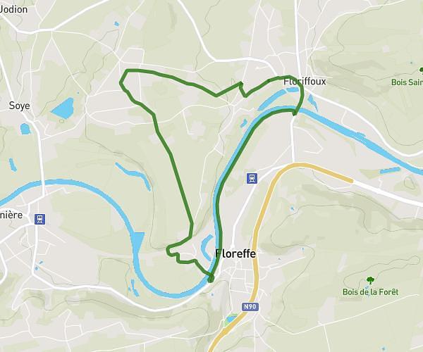
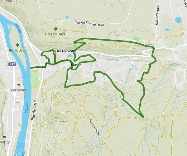
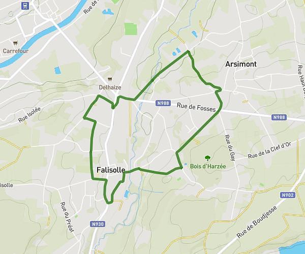
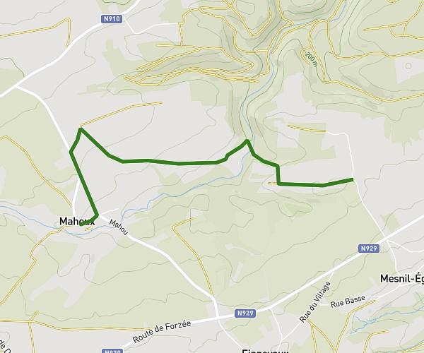
This walking route covers 3.235mi starting from Profondeville, Namur. The walk is a loop trail and returns to the trailhead. This walk is rated as moderate, plan for about 1h9m to complete it. The route has an elevation gain of 646ft and an elevation loss of 656ft.
Hike (5km)
Route details
21:19/mi
Pace
282 kcal
Calories burned
Loop trail
Route type
262ft
Min altitude
597ft
Max altitude
Route profile
646ft
Elevation gain
656ft
Elevation loss
262ft
Min altitude
597ft
Max altitude
How to get there
Trailhead: Route De Floreffe, 5170 Profondeville
GPS coordinates of the trailhead: 50.36243, 4.85444 / 50°21'44'' N, 4°51'15'' E