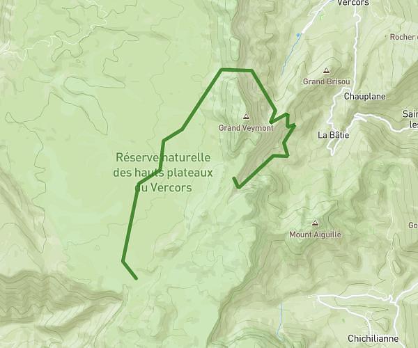
Explore this hiking route of 7.931mi starting from Lus-la-Croix-Haute, Drôme. The hike is a loop and returns to the starting point. This hike is rated as very difficult, plan for about 4h22m to complete it. The route has an elevation gain of 2628ft and an elevation loss of 2644ft.
Lus la Croix Haute
Route details
Route profile
2628ft
Elevation gain
2644ft
Elevation loss
3652ft
Min altitude
6093ft
Max altitude
Route information
How to get there
Route starting point: 110 Chemin Des Terres Rouges, 26620 Lus-la-Croix-Haute, France
GPS coordinates of the starting point: 44.680985, 5.712269 / 44°40'51'' N, 5°42'44'' E