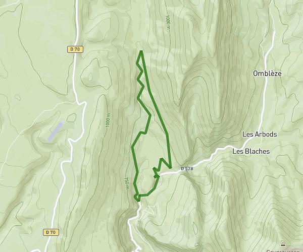
This hiking trail covers 11.648mi starting from Gresse-en-Vercors, Isère. The hike does not return to the trailhead and ends near 38650, Gresse-en-Vercors, Isère, France. This hike is rated as strenuous, plan for about 9h22m to complete it. The route has an elevation gain of 3448ft and an elevation loss of 2618ft.
un tour du Gd Veymont 1
Route details
1.24mph
Speed
4304 kcal
Calories burned
9.9%
Avg grade
Point to point
Route type
4577ft
Min altitude
6283ft
Max altitude
Steep climb
Route profile
3448ft
Elevation gain
2618ft
Elevation loss
4577ft
Min altitude
6283ft
Max altitude
How to get there
Trailhead: Grande Traversée Du Vercors, 38650 Gresse-en-Vercors, France
GPS coordinates of the trailhead: 44.82733, 5.48611 / 44°49'38'' N, 5°29'9'' E