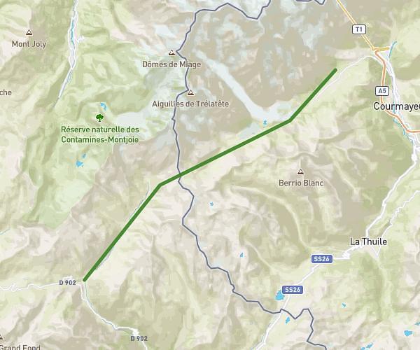
This hiking trail covers 5.771mi starting from Chamonix-Mont-Blanc, Haute-Savoie. The hike does not return to the trailhead and ends near La Tour Argentiere Les Praz, Chamonix-Mont-Blanc, Haute-Savoie, France. This hike is rated as hard, plan for about 1m to complete it. The route has an elevation gain of 3022ft and an elevation loss of 420ft.
Mottets
Route details
346.24mph
Speed
8 kcal
Calories burned
11.3%
Avg grade
Point to point
Route type
3363ft
Min altitude
6145ft
Max altitude
Steep climb
Route profile
3022ft
Elevation gain
420ft
Elevation loss
3363ft
Min altitude
6145ft
Max altitude
How to get there
Trailhead: 715 Promenade Marie Paradis, 74400 Chamonix-Mont-Blanc, France
GPS coordinates of the trailhead: 45.91584, 6.86074 / 45°54'57'' N, 6°51'38'' E