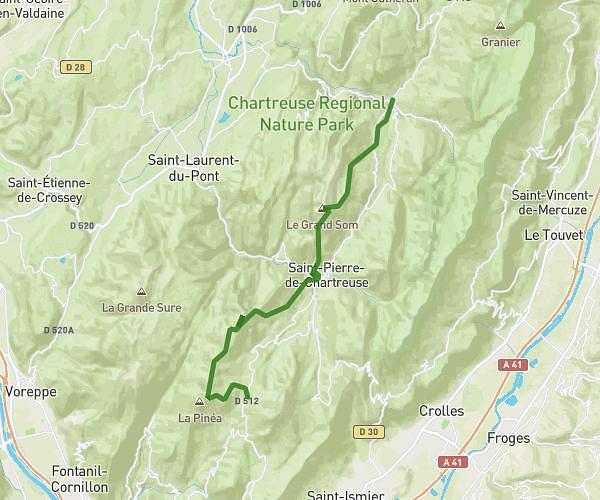
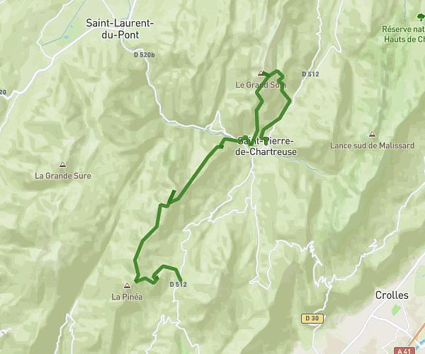
This running route covers 3.729mi starting from Vizille, Isère. The run is a loop trail and returns to the trailhead. This run is rated as easy, expect about 40m to complete it. The route has an elevation gain of 407ft and an elevation loss of 407ft.
Vizille 6km
Route details
5.59mph
Speed
457 kcal
Calories burned
Loop trail
Route type
906ft
Min altitude
1043ft
Max altitude
Route profile
407ft
Elevation gain
407ft
Elevation loss
906ft
Min altitude
1043ft
Max altitude
How to get there
Trailhead: 195 Rue César Ferrafiat, 38220 Vizille, France
GPS coordinates of the trailhead: 45.078715, 5.769458 / 45°4'43'' N, 5°46'10'' E