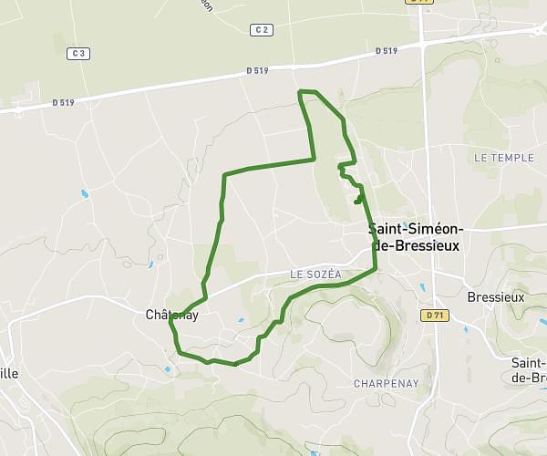
This running route covers 12.144mi starting from Montferrat, Isère. The run is a loop trail and returns to the trailhead. This run is rated as strenuous, expect about 2h to complete it. The route has an elevation gain of 1063ft and an elevation loss of 1063ft.
tour du lac
Route details
6.07mph
Speed
1372 kcal
Calories burned
Loop trail
Route type
1611ft
Min altitude
1827ft
Max altitude
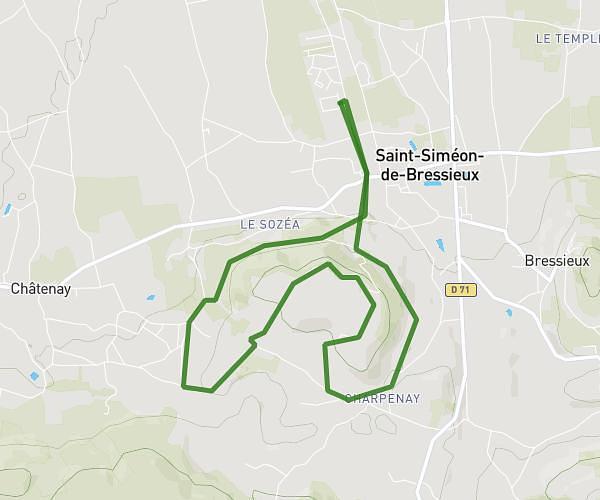
Route profile
1063ft
Elevation gain
1063ft
Elevation loss
1611ft
Min altitude
1827ft
Max altitude
How to get there
Trailhead: 872 Route De La Veronnière, 38620 Montferrat, France
GPS coordinates of the trailhead: 45.46432, 5.55455 / 45°27'51'' N, 5°33'16'' E