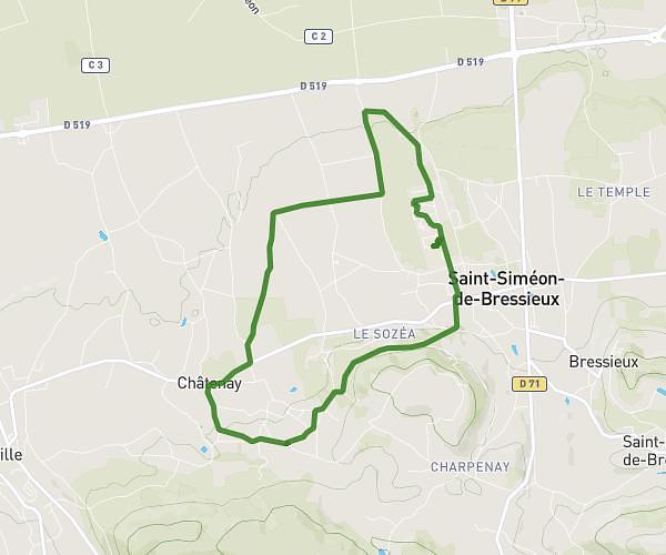
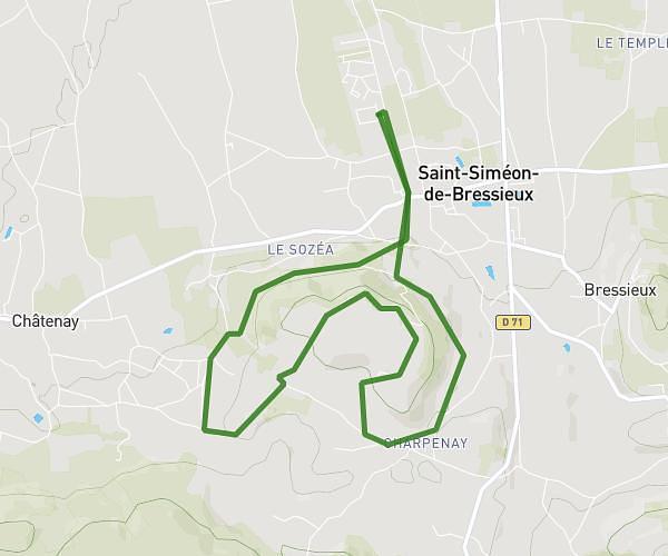
This running route covers 6.413mi starting from Bourgoin-Jallieu, Isère. The run is a loop trail and returns to the trailhead. This run is rated as moderate, expect about 1h10m to complete it. The route has an elevation gain of 636ft and an elevation loss of 463ft.
RUY MONTBERNIER
Route details
5.5mph
Speed
800 kcal
Calories burned
Loop trail
Route type
584ft
Min altitude
1188ft
Max altitude
Route profile
636ft
Elevation gain
463ft
Elevation loss
584ft
Min altitude
1188ft
Max altitude
How to get there
Trailhead: Rue De L'hôtel De Ville, 38300 Bourgoin-Jallieu
GPS coordinates of the trailhead: 45.59291, 5.2799 / 45°35'34'' N, 5°16'47'' E