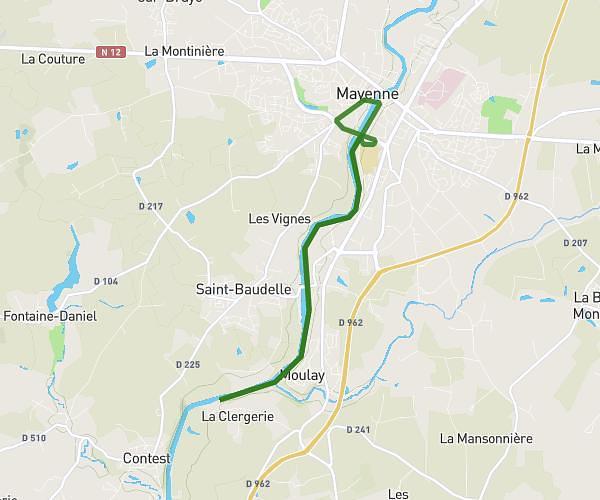
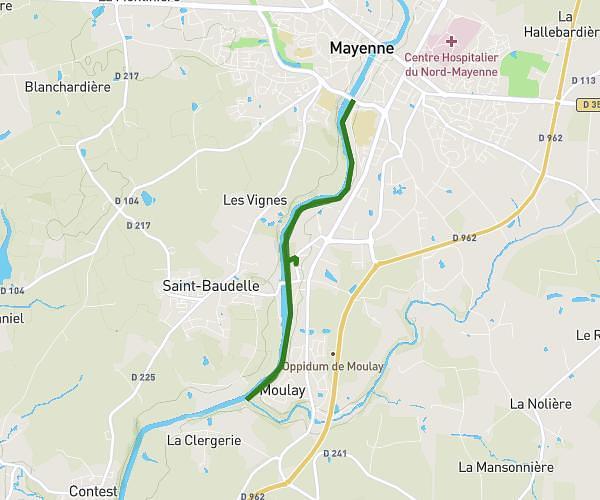
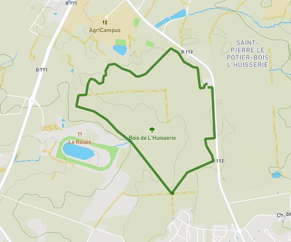
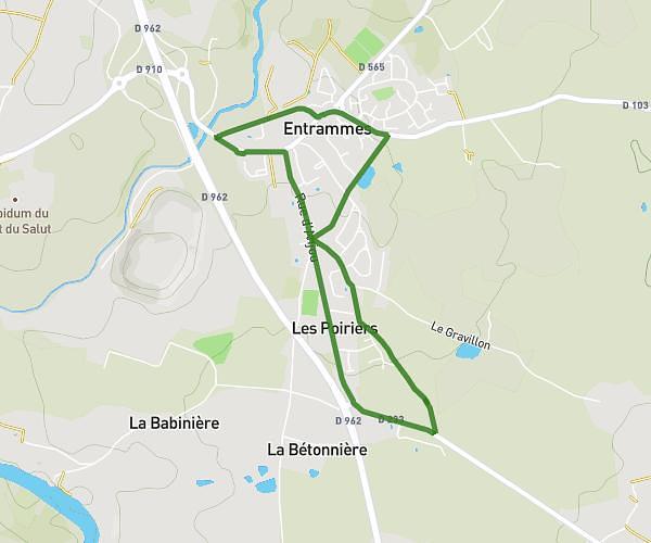
This running route covers 9.572mi starting from Saint-Jean-sur-Mayenne, Mayenne. The run does not return to the trailhead and ends near La Grande Ville, 53470 Martigné-sur-Mayenne. This run is rated as hard, expect about 1h32m to complete it. The route has an elevation gain of 305ft and an elevation loss of 0ft.
Change martigne
Route details
6.24mph
Speed
1052 kcal
Calories burned
Point to point
Route type
171ft
Min altitude
476ft
Max altitude
Route profile
305ft
Elevation gain
0ft
Elevation loss
171ft
Min altitude
476ft
Max altitude
How to get there
Trailhead: Chemin Du Val, 53240 Saint-Jean-sur-Mayenne
GPS coordinates of the trailhead: 48.12236, -0.75299 / 48°7'20'' N, 0°45'10'' W