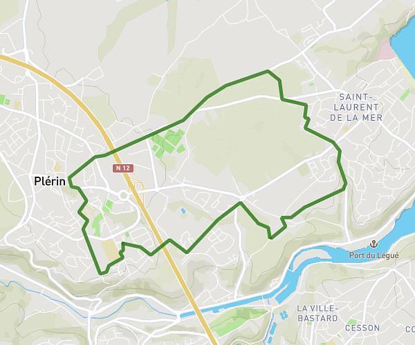
This hiking trail covers 13.258mi starting from Plérin, Côtes-d'Armor. The hike does not return to the trailhead and ends near Rue Pasteur, 22680 Binic-Étables-sur-Mer. This hike is rated as hard, plan for about 4h19m to complete it. The route has an elevation gain of 1309ft and an elevation loss of 1368ft.
1ère étape De la pointe du roselier jusqu'à Tagar étape
Route details
3.07mph
Speed
1870 kcal
Calories burned
3.8%
Avg grade
Point to point
Route type
13ft
Min altitude
262ft
Max altitude
Route profile
1309ft
Elevation gain
1368ft
Elevation loss
13ft
Min altitude
262ft
Max altitude
How to get there
Trailhead: Rue Du Roselier, 22190 Plérin
GPS coordinates of the trailhead: 48.552, -2.71925 / 48°33'7'' N, 2°43'9'' W