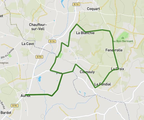
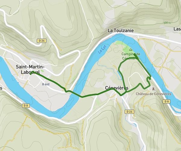
This running route covers 1.86mi starting from Bio, Lot. The run does not return to the trailhead and ends near Chemin Des Vignes, 46500 Gramat, France. This run is rated as easy, expect about 9m30s to complete it. The route has an elevation gain of 13ft and an elevation loss of 148ft.
3 km
Route details
11.75mph
Speed
109 kcal
Calories burned
Point to point
Route type
1014ft
Min altitude
1152ft
Max altitude
Route profile
13ft
Elevation gain
148ft
Elevation loss
1014ft
Min altitude
1152ft
Max altitude
How to get there
Trailhead: Route De Terrou, 46500 Bio, France
GPS coordinates of the trailhead: 44.77563, 1.76877 / 44°46'32'' N, 1°46'7'' E