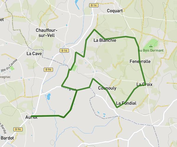
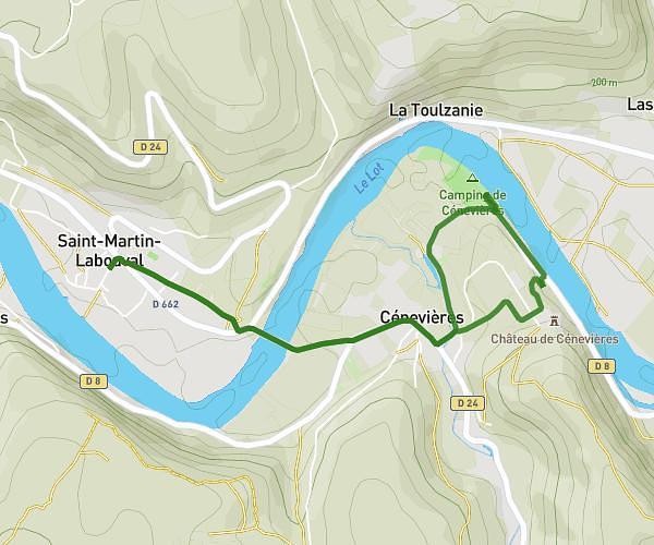
This running route covers 2.354mi starting from Bio, Lot. The run does not return to the trailhead and ends near Avenue Georges Pompidou, 46500 Gramat. This run is rated as easy, expect about 12m to complete it. The route has an elevation gain of 39ft and an elevation loss of 210ft.
Test Cooper route et chemin
Route details
11.77mph
Speed
137 kcal
Calories burned
Point to point
Route type
958ft
Min altitude
1129ft
Max altitude
Route profile
39ft
Elevation gain
210ft
Elevation loss
958ft
Min altitude
1129ft
Max altitude
How to get there
Trailhead: Domaine du Terrou, 46500 Bio
GPS coordinates of the trailhead: 44.77393, 1.76952 / 44°46'26'' N, 1°46'10'' E