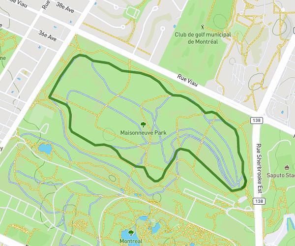
This running route covers 3.156mi starting from Longueuil, Quebec. The run is a loop trail and returns to the trailhead. This run is rated as easy, expect about 30m to complete it. The route has an elevation gain of 164ft and an elevation loss of 164ft.
5 km
Route details
6.31mph
Speed
343 kcal
Calories burned
Loop trail
Route type
85ft
Min altitude
108ft
Max altitude
Route profile
164ft
Elevation gain
164ft
Elevation loss
85ft
Min altitude
108ft
Max altitude
How to get there
Trailhead: 350 Rue Migneault, Longueuil, Quebec J4L 4W2, Canada
GPS coordinates of the trailhead: 45.52425, -73.44535 / 45°31'27'' N, 73°26'43'' W