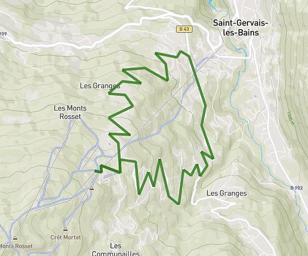
This hiking trail covers 7.447mi starting from Saint-Gervais-les-Bains, Haute-Savoie. The hike is a loop trail and returns to the trailhead. This hike is rated as strenuous, plan for about 6h19m to complete it. The route has an elevation gain of 3396ft and an elevation loss of 3389ft.
Tour du mont Vorassay
Route details
1.18mph
Speed
3035 kcal
Calories burned
17.3%
Avg grade
Loop trail
Route type
3799ft
Min altitude
6929ft
Max altitude
Steep climb
Route profile
3396ft
Elevation gain
3389ft
Elevation loss
3799ft
Min altitude
6929ft
Max altitude
How to get there
Trailhead: 134 Impasse Des Iris, 74170 Saint-Gervais-les-Bains, France
GPS coordinates of the trailhead: 45.86027, 6.73316 / 45°51'36'' N, 6°43'59'' E