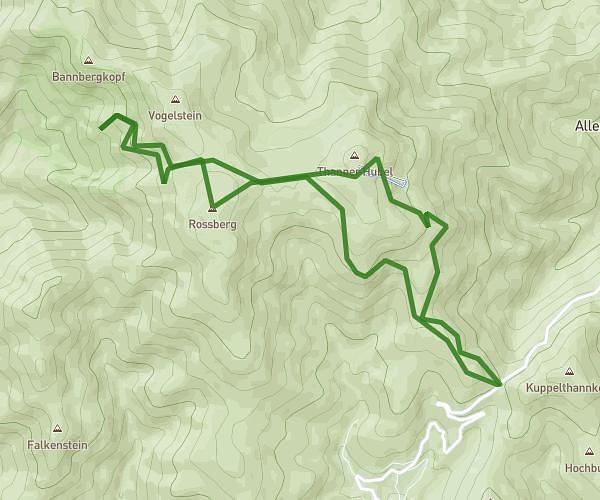
This hiking trail covers 2.943mi starting from Riedisheim, Haut-Rhin. The hike is a loop trail and returns to the trailhead. This hike is rated as moderate, plan for about 1h14m to complete it. The route has an elevation gain of 522ft and an elevation loss of 531ft.
louis1
Route details
2.39mph
Speed
547 kcal
Calories burned
6.8%
Avg grade
Loop trail
Route type
833ft
Min altitude
1112ft
Max altitude
Route profile
522ft
Elevation gain
531ft
Elevation loss
833ft
Min altitude
1112ft
Max altitude
How to get there
Trailhead: 45 Rue Bartholdi, 68400 Riedisheim, France
GPS coordinates of the trailhead: 47.73871, 7.359276 / 47°44'19'' N, 7°21'33'' E