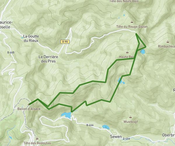
This hiking trail covers 2.874mi starting from Lautenbachzell, Haut-Rhin. The hike does not return to the trailhead and ends near Route Des Crêtes, 88250 Soultz-Haut-Rhin, France. This hike is rated as moderate, plan for about 39m to complete it. The route has an elevation gain of 269ft and an elevation loss of 1175ft.
Haag Firstacker Aller simple
Route details
4.42mph
Speed
281 kcal
Calories burned
9.5%
Avg grade
Point to point
Route type
3123ft
Min altitude
4029ft
Max altitude
Steep climb
Route profile
269ft
Elevation gain
1175ft
Elevation loss
3123ft
Min altitude
4029ft
Max altitude
How to get there
Trailhead: Route Des Crêtes, 88250 Lautenbachzell, France
GPS coordinates of the trailhead: 47.90507, 7.09042 / 47°54'18'' N, 7°5'25'' E