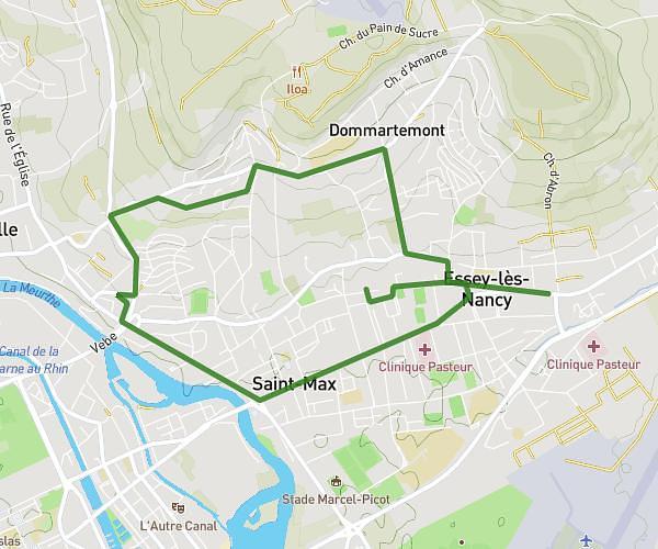
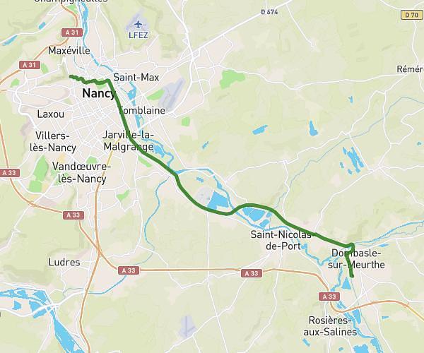
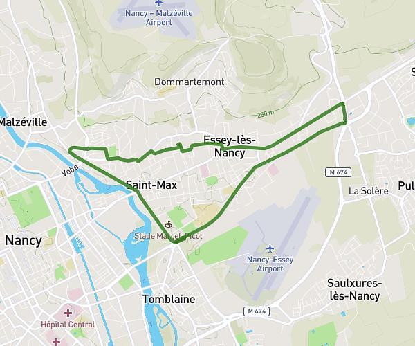
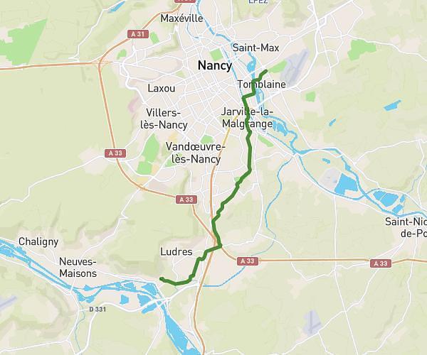
This running route covers 13.105mi starting from Liverdun, Meurthe-et-Moselle. The run does not return to the trailhead and ends near 3b Avenue De Metz, 54320 Maxéville, France. This run is rated as strenuous, expect about 1h48m to complete it. The route has an elevation gain of 545ft and an elevation loss of 561ft.
LIVERDUN - NANCY
Route details
7.28mph
Speed
1235 kcal
Calories burned
Point to point
Route type
620ft
Min altitude
817ft
Max altitude
Route profile
545ft
Elevation gain
561ft
Elevation loss
620ft
Min altitude
817ft
Max altitude
How to get there
Trailhead: 1 Place De La Gare, 54460 Liverdun, France
GPS coordinates of the trailhead: 48.74949, 6.0617 / 48°44'58'' N, 6°3'42'' E