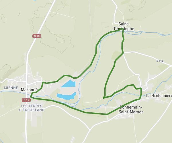
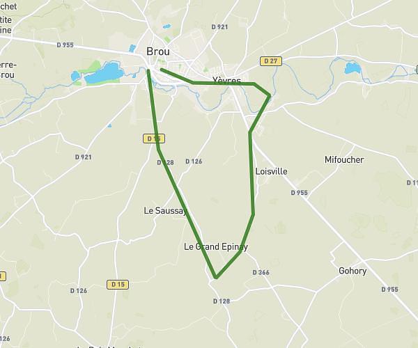
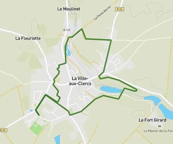
This running route covers 5.846mi starting from Châteaudun, Eure-et-Loir. The run is a loop trail and returns to the trailhead. This run is rated as moderate, expect about 56m to complete it. The route has an elevation gain of 397ft and an elevation loss of 394ft.
Chateaudun bois des gats 17/08
Route details
6.26mph
Speed
640 kcal
Calories burned
Loop trail
Route type
344ft
Min altitude
469ft
Max altitude
Route profile
397ft
Elevation gain
394ft
Elevation loss
344ft
Min altitude
469ft
Max altitude
How to get there
Trailhead: 30 Rue De La Madeleine, 28200 Châteaudun, France
GPS coordinates of the trailhead: 48.06931, 1.32601 / 48°4'9'' N, 1°19'33'' E