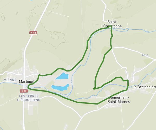
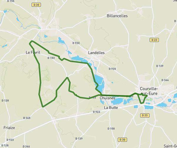
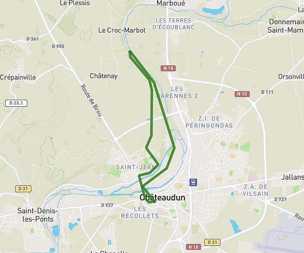
This running route covers 8.964mi starting from Brou, Eure-et-Loir. The run does not return to the trailhead and ends near Rue De L'abreuvoir, 28160 Brou. This run is rated as hard, expect about 1h34m to complete it. The route has an elevation gain of 276ft and an elevation loss of 295ft.
Sortie we
Route details
5.72mph
Speed
1075 kcal
Calories burned
Point to point
Route type
469ft
Min altitude
564ft
Max altitude
Route profile
276ft
Elevation gain
295ft
Elevation loss
469ft
Min altitude
564ft
Max altitude
How to get there
Trailhead: Rue E. J. Valadier, 28160 Brou
GPS coordinates of the trailhead: 48.21161, 1.16728 / 48°12'41'' N, 1°10'2'' E