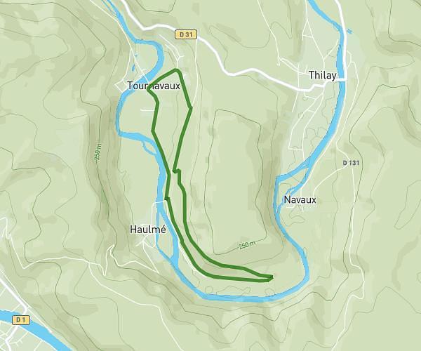
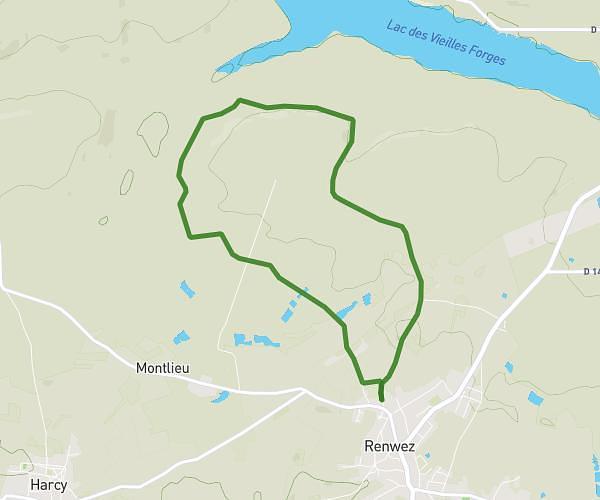
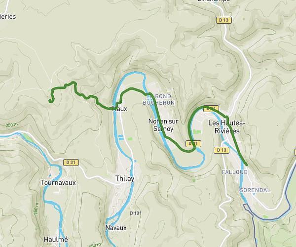
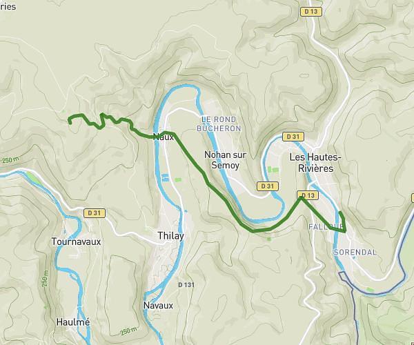
This hiking trail covers 8.518mi starting from Guignicourt-sur-Vence, Ardennes. The hike does not return to the trailhead and ends near 37 Rue De La Martine, 08430 Guignicourt-sur-Vence, France. This hike is rated as hard, plan for about 5h2m to complete it. The route has an elevation gain of 1027ft and an elevation loss of 938ft.
guigncourt / vence
Route details
1.69mph
Speed
2194 kcal
Calories burned
4.4%
Avg grade
Point to point
Route type
558ft
Min altitude
971ft
Max altitude
Route profile
1027ft
Elevation gain
938ft
Elevation loss
558ft
Min altitude
971ft
Max altitude
How to get there
Trailhead: 1 Rue De La Martine, 08430 Guignicourt-sur-Vence, France
GPS coordinates of the trailhead: 49.68149, 4.65225 / 49°40'53'' N, 4°39'8'' E