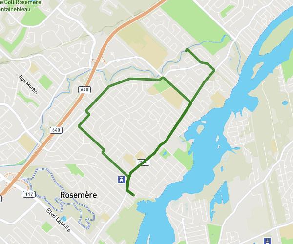
This running route covers 3.733mi starting from Lorraine, Quebec. The run does not return to the trailhead and ends near 55 Chemin De Ronchamp, Lorraine, Quebec J6Z 3G4, Canada. This run is rated as easy, expect about 36m to complete it. The route has an elevation gain of 151ft and an elevation loss of 151ft.
6km
Route details
6.22mph
Speed
412 kcal
Calories burned
Point to point
Route type
200ft
Min altitude
220ft
Max altitude
Route profile
151ft
Elevation gain
151ft
Elevation loss
200ft
Min altitude
220ft
Max altitude
How to get there
Trailhead: 11 Avenue De Vouziers, Lorraine, Quebec J6Z 3H5, Canada
GPS coordinates of the trailhead: 45.66859, -73.77983 / 45°40'6'' N, 73°46'47'' W