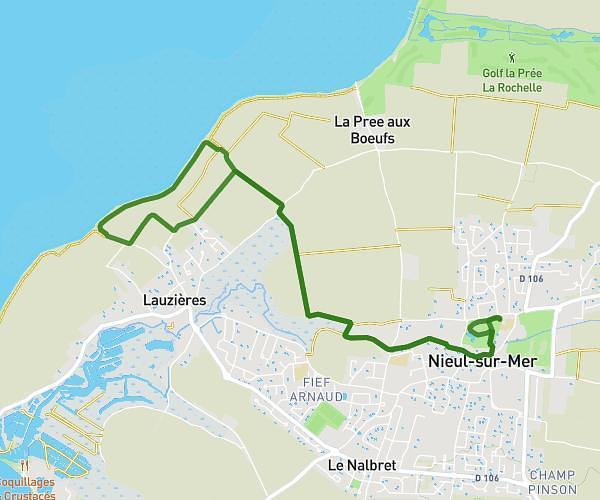
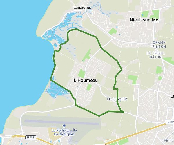
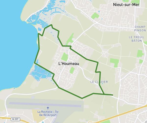
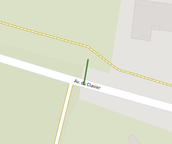
This hiking trail covers 3.995mi starting from La Brée-les-Bains, Charente-Maritime. The hike does not return to the trailhead and ends near Route Du Moulin, 17840 La Brée-les-Bains, France. This hike is rated as easy, plan for about 1h30m to complete it. The route has an elevation gain of 72ft and an elevation loss of 75ft.
Zamela au moulin
Route details
2.67mph
Speed
634 kcal
Calories burned
0.7%
Avg grade
Point to point
Route type
0ft
Min altitude
33ft
Max altitude
Route profile
72ft
Elevation gain
75ft
Elevation loss
0ft
Min altitude
33ft
Max altitude
How to get there
Trailhead: 19 Rue Des Ardillières, 17840 La Brée-les-Bains, France
GPS coordinates of the trailhead: 46.01326, -1.35384 / 46°0'47'' N, 1°21'13'' W