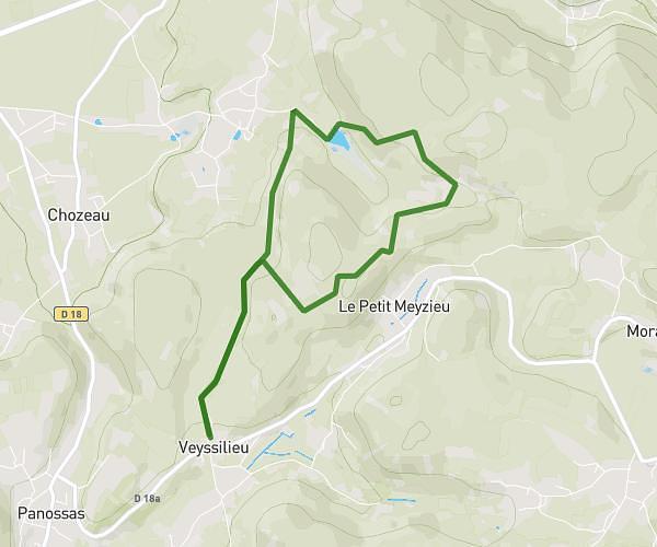
This hiking trail covers 3.304mi starting from Corbas, Rhône. The hike does not return to the trailhead and ends near 18 Rue Gambetta, 69800 Saint-Priest, France. This hike is rated as easy, plan for about 13m to complete it. The route has an elevation gain of 171ft and an elevation loss of 164ft.
Lulu
Route details
15.25mph
Speed
92 kcal
Calories burned
1.9%
Avg grade
Point to point
Route type
633ft
Min altitude
699ft
Max altitude
Route profile
171ft
Elevation gain
164ft
Elevation loss
633ft
Min altitude
699ft
Max altitude
How to get there
Trailhead: 2 Impasse Henri Wallon, 69960 Corbas, France
GPS coordinates of the trailhead: 45.67271, 4.9055 / 45°40'21'' N, 4°54'19'' E