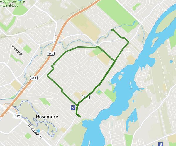
This running route covers 6.335mi starting from Mascouche, Quebec. The run is a loop trail and returns to the trailhead. This run is rated as moderate, expect about 1h8m to complete it. The route has an elevation gain of 26ft and an elevation loss of 16ft.
10km chez mehmet
Route details
5.59mph
Speed
777 kcal
Calories burned
Loop trail
Route type
157ft
Min altitude
180ft
Max altitude
Route profile
26ft
Elevation gain
16ft
Elevation loss
157ft
Min altitude
180ft
Max altitude
How to get there
Trailhead: 1410 Rue Boissonneault, Mascouche, Quebec J7L 1T7, Canada
GPS coordinates of the trailhead: 45.741345, -73.655406 / 45°44'28'' N, 73°39'19'' W