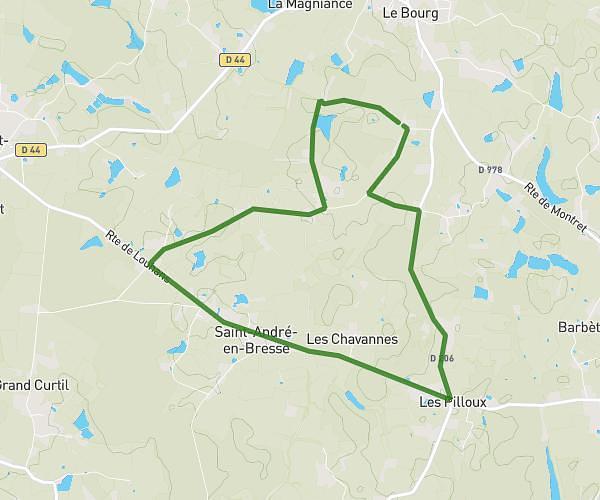
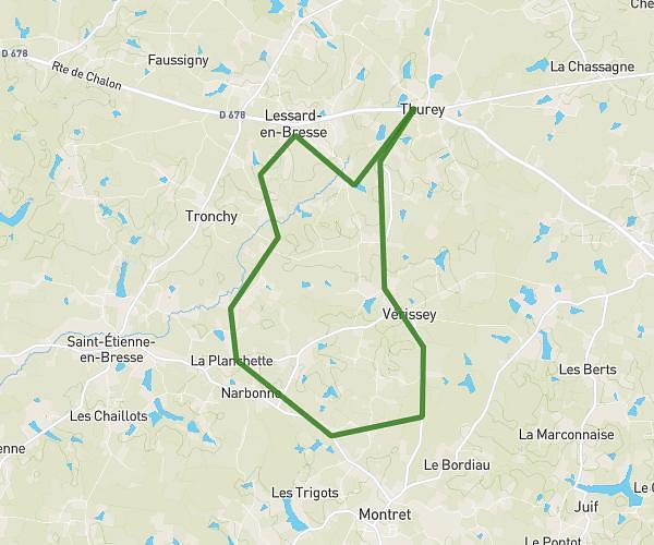
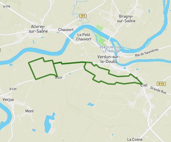
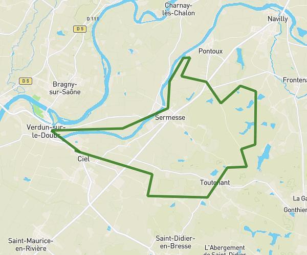
This running route covers 15.386mi starting from Saint-Germain-du-Bois, Saône-et-Loire. The run is a loop trail and returns to the trailhead. This run is rated as strenuous, expect about 4h to complete it. The route has an elevation gain of 515ft and an elevation loss of 512ft.
Tirard
Route details
3.85mph
Speed
2744 kcal
Calories burned
Loop trail
Route type
587ft
Min altitude
686ft
Max altitude
Route profile
515ft
Elevation gain
512ft
Elevation loss
587ft
Min altitude
686ft
Max altitude
How to get there
Trailhead: 14 Chemin De La Petite Commune, 71330 Saint-Germain-du-Bois, France
GPS coordinates of the trailhead: 46.732686, 5.239111 / 46°43'57'' N, 5°14'20'' E