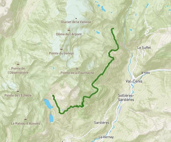
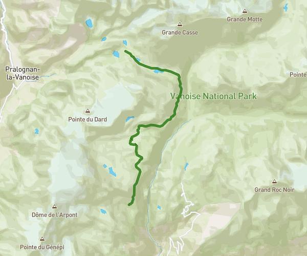
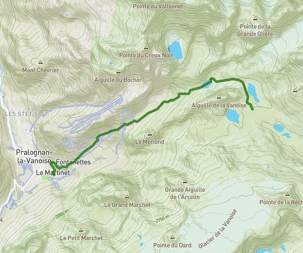
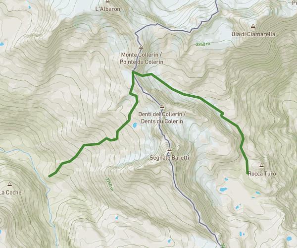
This hiking trail covers 8.071mi starting from Bonneval-sur-Arc, Savoie. The hike does not return to the trailhead and ends near 10080 Ceresole Reale. This hike is rated as strenuous, plan for about 7h5m to complete it. The route has an elevation gain of 3228ft and an elevation loss of 1122ft.
col du carro
Route details
1.14mph
Speed
3351 kcal
Calories burned
10.2%
Avg grade
Point to point
Route type
8100ft
Min altitude
10207ft
Max altitude
High altitude
Steep climb
Route profile
3228ft
Elevation gain
1122ft
Elevation loss
8100ft
Min altitude
10207ft
Max altitude
How to get there
Trailhead: D 902, 73480 Bonneval-sur-Arc
GPS coordinates of the trailhead: 45.39861, 7.04335 / 45°23'54'' N, 7°2'36'' E