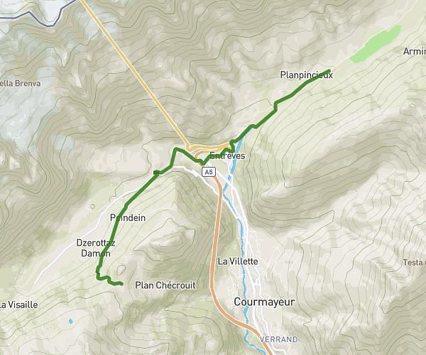
This hiking trail covers 17.453mi starting from Chamonix-Mont-Blanc, Haute-Savoie. The hike does not return to the trailhead and ends near 410 Route De La Gare, 74310 Les Houches, France. This hike is rated as hard, plan for about 7h1m to complete it. The route has an elevation gain of 6575ft and an elevation loss of 7552ft.
Rando_Balcon_MC
Route details
2.49mph
Speed
3300 kcal
Calories burned
15.3%
Avg grade
Point to point
Route type
3173ft
Min altitude
8173ft
Max altitude
Steep climb
Route profile
6575ft
Elevation gain
7552ft
Elevation loss
3173ft
Min altitude
8173ft
Max altitude
How to get there
Trailhead: 115 Chemin Des Grands Bois, 74400 Chamonix-Mont-Blanc, France
GPS coordinates of the trailhead: 45.98301, 6.9256 / 45°58'58'' N, 6°55'32'' E