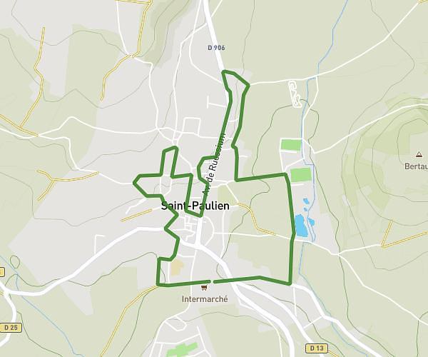
This running route covers 6.558mi starting from Polignac, Haute-Loire. The run is a loop trail and returns to the trailhead. This run is rated as moderate, expect about 1h3m to complete it. The route has an elevation gain of 1040ft and an elevation loss of 1086ft.
Maison Jim Denise Espaly Papeterie
Route details
6.24mph
Speed
720 kcal
Calories burned
Loop trail
Route type
2054ft
Min altitude
2575ft
Max altitude
Route profile
1040ft
Elevation gain
1086ft
Elevation loss
2054ft
Min altitude
2575ft
Max altitude
How to get there
Trailhead: 2 Impasse Du Soleil, 43000 Polignac, France
GPS coordinates of the trailhead: 45.06237, 3.84472 / 45°3'44'' N, 3°50'40'' E