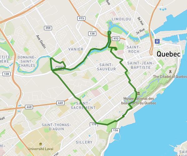
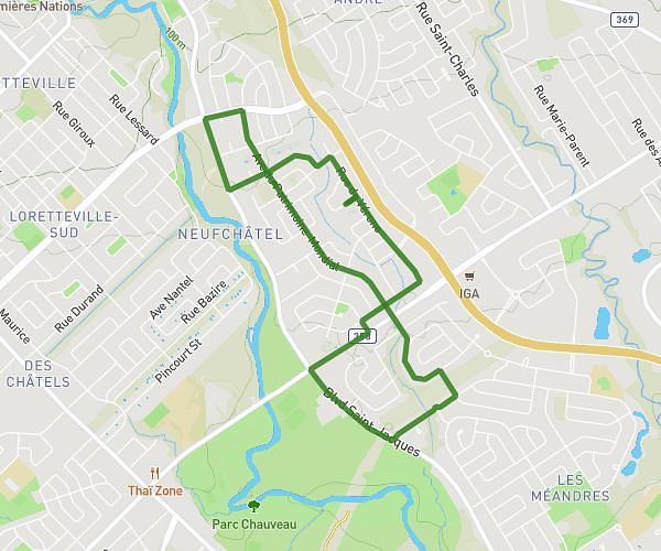
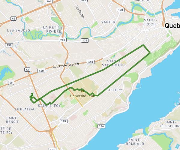
This running route covers 5.666mi starting from Lévis, Quebec. The run is a loop trail and returns to the trailhead. This run is rated as moderate, expect about 54m42s to complete it. The route has an elevation gain of 377ft and an elevation loss of 377ft.
judy et meg
Route details
6.21mph
Speed
625 kcal
Calories burned
Loop trail
Route type
52ft
Min altitude
364ft
Max altitude
Route profile
377ft
Elevation gain
377ft
Elevation loss
52ft
Min altitude
364ft
Max altitude
How to get there
Trailhead: Rue Hypolite-Bernier, G6V 7M8 Lévis
GPS coordinates of the trailhead: 46.81894, -71.14853 / 46°49'8'' N, 71°8'54'' W