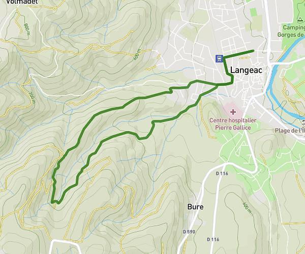
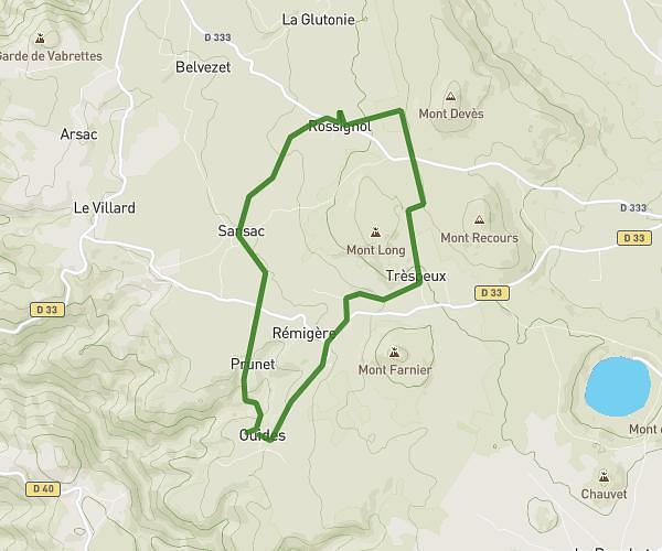
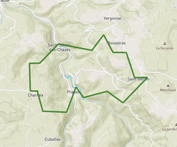
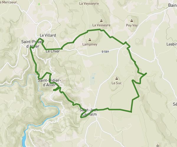
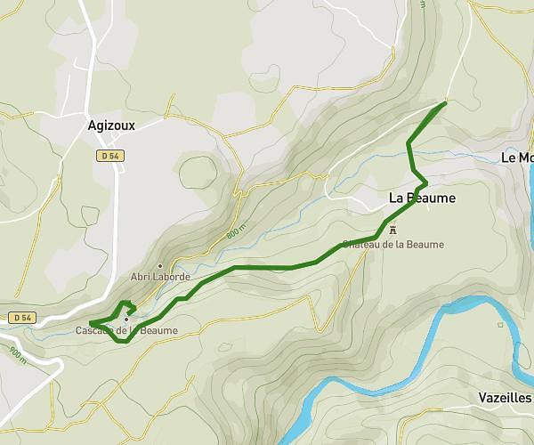
This hiking trail covers 9.035mi starting from Langeac, Haute-Loire. The hike is a loop trail and returns to the trailhead. This hike is rated as hard, plan for about 3h41m to complete it. The route has an elevation gain of 1706ft and an elevation loss of 1703ft.
Grande boucle randonnée 2026
Route details
2.45mph
Speed
1639 kcal
Calories burned
7.1%
Avg grade
Loop trail
Route type
1578ft
Min altitude
2592ft
Max altitude
Route profile
1706ft
Elevation gain
1703ft
Elevation loss
1578ft
Min altitude
2592ft
Max altitude
How to get there
Trailhead: 7 Avenue De La Gare, 43300 Langeac, France
GPS coordinates of the trailhead: 45.10169, 3.493292 / 45°6'6'' N, 3°29'35'' E