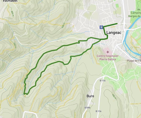
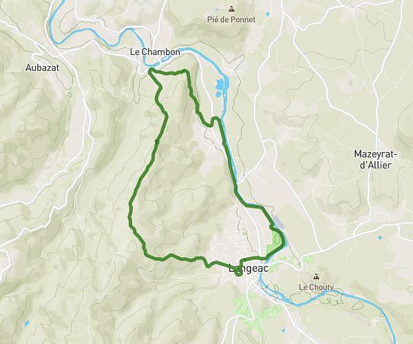
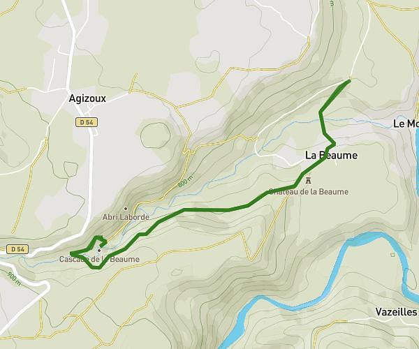
This hiking trail covers 14.49mi starting from Charraix, Haute-Loire. The hike is a loop trail and returns to the trailhead. This hike is rated as strenuous, plan for about 7h29m to complete it. The route has an elevation gain of 4275ft and an elevation loss of 4239ft.
Charraix
Route details
1.94mph
Speed
3436 kcal
Calories burned
11.1%
Avg grade
Loop trail
Route type
1739ft
Min altitude
3514ft
Max altitude
Steep climb
Route profile
4275ft
Elevation gain
4239ft
Elevation loss
1739ft
Min altitude
3514ft
Max altitude
How to get there
Trailhead: Place Du Coudert, 43300 Charraix, France
GPS coordinates of the trailhead: 45.02766, 3.57053 / 45°1'39'' N, 3°34'13'' E