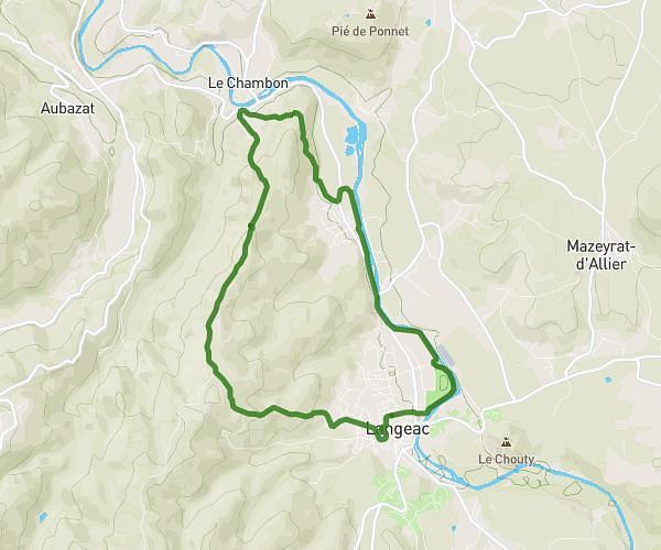
This hiking trail covers 7.733mi starting from Aiguilhe, Haute-Loire. The hike is a loop trail and returns to the trailhead. This hike is rated as hard, plan for about 1h30m to complete it. The route has an elevation gain of 1129ft and an elevation loss of 1129ft.
Visite Puy en Velay
Route details
5.16mph
Speed
659 kcal
Calories burned
5.5%
Avg grade
Loop trail
Route type
2001ft
Min altitude
2703ft
Max altitude
Route profile
1129ft
Elevation gain
1129ft
Elevation loss
2001ft
Min altitude
2703ft
Max altitude
How to get there
Trailhead: 14 Rue Des Écoles, 43000 Aiguilhe, France
GPS coordinates of the trailhead: 45.050587, 3.885192 / 45°3'2'' N, 3°53'6'' E