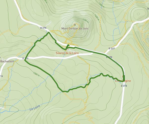
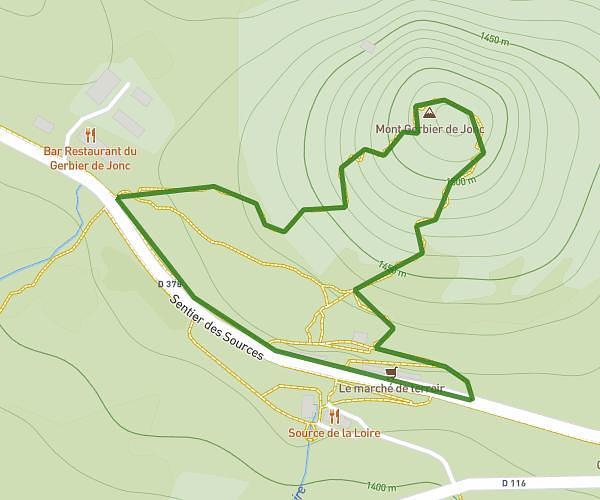
This hiking trail covers 16.94mi starting from Les Estables, Haute-Loire. The hike is a loop trail and returns to the trailhead. This hike is rated as strenuous, plan for about 9h5m to complete it. The route has an elevation gain of 3655ft and an elevation loss of 3698ft.
Tour Drt Mézenc 23/05
Route details
1.86mph
Speed
4077 kcal
Calories burned
8.2%
Avg grade
Loop trail
Route type
3825ft
Min altitude
5702ft
Max altitude
Steep climb
Route profile
3655ft
Elevation gain
3698ft
Elevation loss
3825ft
Min altitude
5702ft
Max altitude
How to get there
Trailhead: Route De Peccata, 43150 Les Estables, France
GPS coordinates of the trailhead: 44.915977, 4.178623 / 44°54'57'' N, 4°10'43'' E