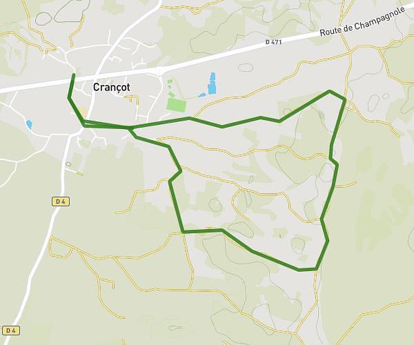
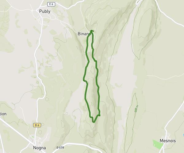
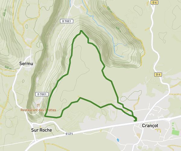
Explore this hiking route of 14.91km starting from Bourg-de-Sirod, Jura. The hike is a loop and returns to the starting point. This hike has no defined difficulty level, plan for about 3h30m to complete it. The route has a positive elevation gain of 547m and a negative elevation loss of 548m.
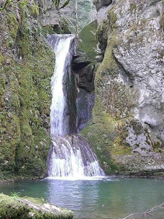
Pertes de l'ain
Route details
Route profile
547m
Elevation +
548m
Elevation -
546m
Min altitude
808m
Max altitude
How to get there
Route starting point: 495 Rue Des Forges, 39300 Bourg-de-Sirod, France
GPS coordinates of the starting point: 46.72338, 5.95634 / 46°43'24'' N, 5°57'22'' E
Calculate the time to reach the starting point from your location or an address