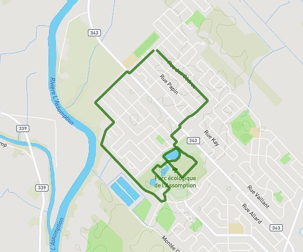
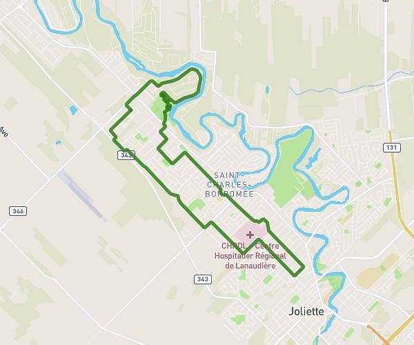
This running route covers 11.32mi starting from Saint-Charles-Borromée, Quebec. The run is a loop trail and returns to the trailhead. This run is rated as strenuous, expect about 1h49m to complete it. The route has an elevation gain of 440ft and an elevation loss of 440ft.
18km Sainte-Julie
Route details
6.23mph
Speed
1246 kcal
Calories burned
Loop trail
Route type
174ft
Min altitude
259ft
Max altitude
Route profile
440ft
Elevation gain
440ft
Elevation loss
174ft
Min altitude
259ft
Max altitude
How to get there
Trailhead: 143 Rue Marc-Aurèle-Fortin, Saint-Charles-Borromée, Quebec J6E 8Y3, Canada
GPS coordinates of the trailhead: 46.06174, -73.48939 / 46°3'42'' N, 73°29'21'' W