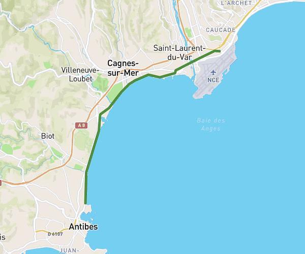
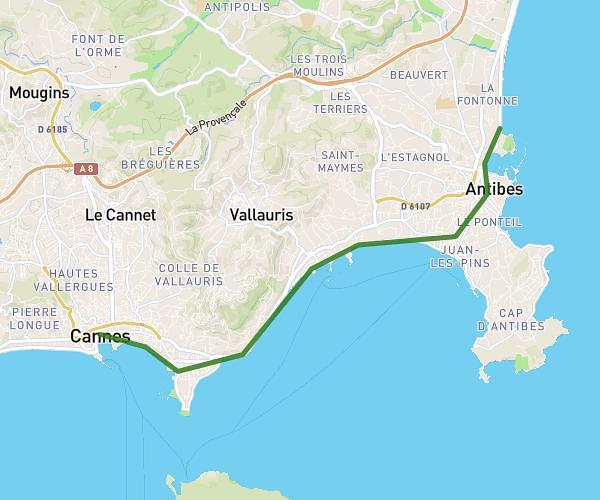
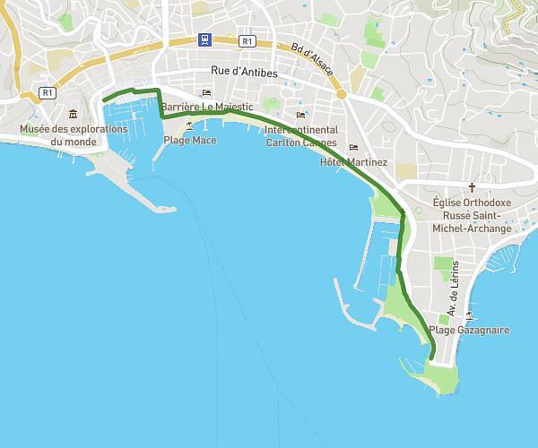
This walking route covers 1.455mi starting from Biot, Alpes-Maritimes. The walk is a loop trail and returns to the trailhead. This walk is rated as easy, plan for about 31m to complete it. The route has an elevation gain of 164ft and an elevation loss of 167ft.
CleanUp_2024_2
Route details
21:19/mi
Pace
127 kcal
Calories burned
Loop trail
Route type
315ft
Min altitude
410ft
Max altitude
Route profile
164ft
Elevation gain
167ft
Elevation loss
315ft
Min altitude
410ft
Max altitude
How to get there
Trailhead: 200 Avenue Roumanille, 06410 Biot, France
GPS coordinates of the trailhead: 43.61811, 7.07534 / 43°37'5'' N, 7°4'31'' E