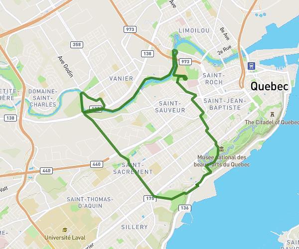
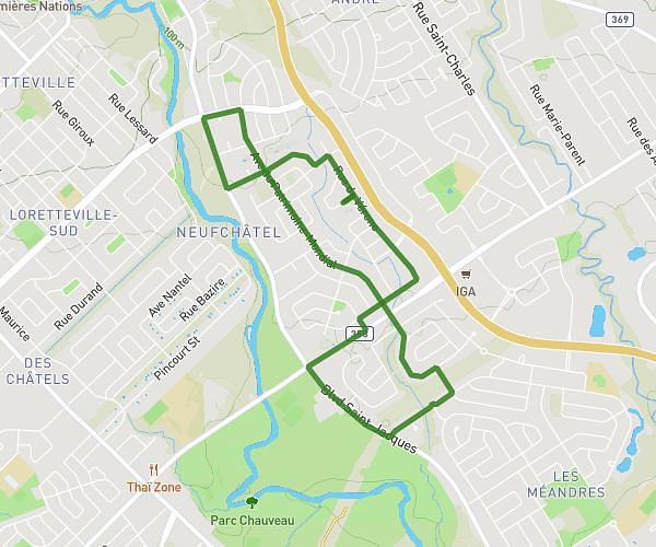
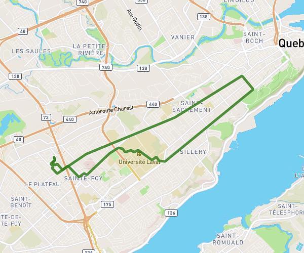
This running route covers 3.123mi starting from Stoneham-et-Tewkesbury, Quebec. The run is a loop trail and returns to the trailhead. This run is rated as easy, expect about 27m to complete it. The route has an elevation gain of 46ft and an elevation loss of 49ft.
Camping Sto
Route details
6.94mph
Speed
309 kcal
Calories burned
Loop trail
Route type
673ft
Min altitude
715ft
Max altitude
Route profile
46ft
Elevation gain
49ft
Elevation loss
673ft
Min altitude
715ft
Max altitude
How to get there
Trailhead: 80 Chemin Saint-Edmond, Stoneham-et-Tewkesbury, Quebec G3C 1G3, Canada
GPS coordinates of the trailhead: 47.03706, -71.3335 / 47°2'13'' N, 71°20'0'' W