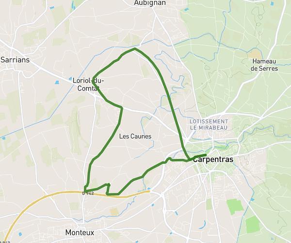
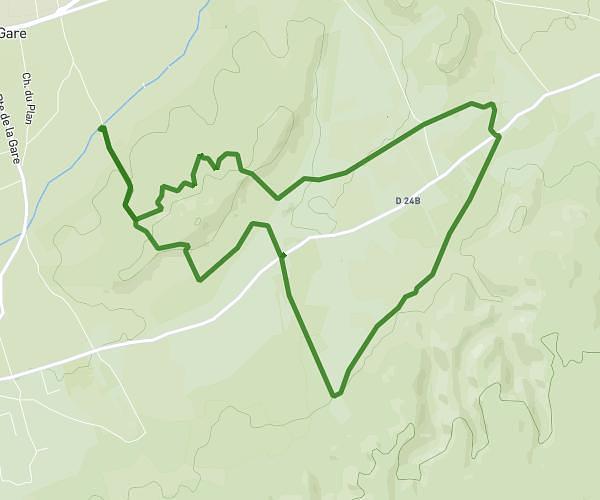
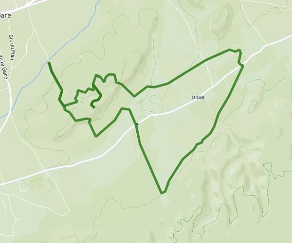
This running route covers 8.082mi starting from Entraigues-sur-la-Sorgue, Vaucluse. The run is a loop trail and returns to the trailhead. This run is rated as hard, expect about 1h18m to complete it. The route has an elevation gain of 502ft and an elevation loss of 495ft.
Entraigues 13k
Route details
6.22mph
Speed
892 kcal
Calories burned
Loop trail
Route type
85ft
Min altitude
282ft
Max altitude
Route profile
502ft
Elevation gain
495ft
Elevation loss
85ft
Min altitude
282ft
Max altitude
How to get there
Trailhead: 38 Allée Des Belles Dames, 84320 Entraigues-sur-la-Sorgue, France
GPS coordinates of the trailhead: 44.00162, 4.91096 / 44°0'5'' N, 4°54'39'' E