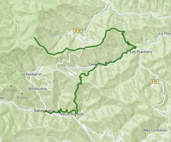
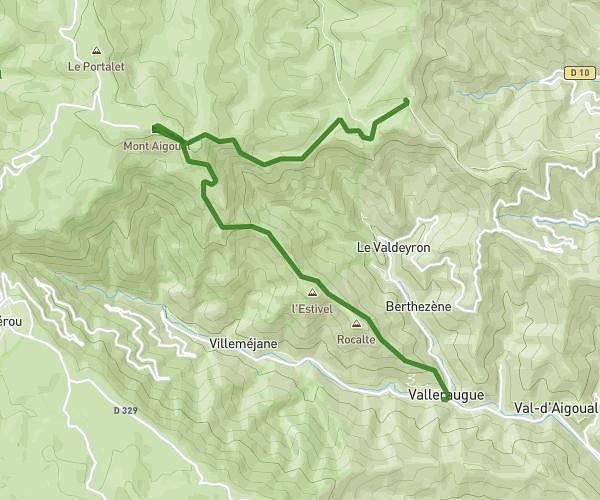
This hiking trail covers 5.532mi starting from Brissac, Hérault. The hike is a loop trail and returns to the trailhead. This hike is rated as moderate, plan for about 2h58m to complete it. The route has an elevation gain of 883ft and an elevation loss of 879ft.
Brissac par ND Suc
Route details
1.86mph
Speed
1309 kcal
Calories burned
6.0%
Avg grade
Loop trail
Route type
433ft
Min altitude
1063ft
Max altitude
Route profile
883ft
Elevation gain
879ft
Elevation loss
433ft
Min altitude
1063ft
Max altitude
How to get there
Trailhead: Avenue Du Parc, 34190 Brissac
GPS coordinates of the trailhead: 43.87882, 3.70188 / 43°52'43'' N, 3°42'6'' E