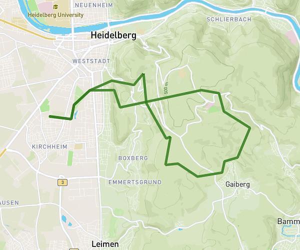
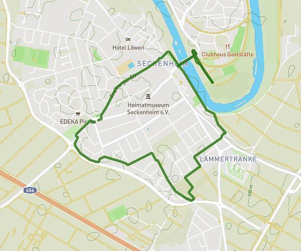
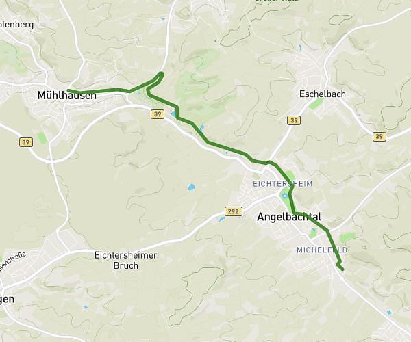
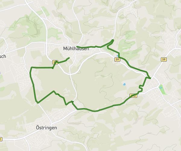
This running route covers 13.685mi starting from Hirschhorn, Hesse. The run is a loop trail and returns to the trailhead. This run is rated as strenuous, expect about 2h to complete it. The route has an elevation gain of 2064ft and an elevation loss of 2060ft.
EbbHHRundlauf
Route details
6.84mph
Speed
1372 kcal
Calories burned
Loop trail
Route type
397ft
Min altitude
1184ft
Max altitude
Route profile
2064ft
Elevation gain
2060ft
Elevation loss
397ft
Min altitude
1184ft
Max altitude
How to get there
Trailhead: Waldstraße 8, 69412 Hirschhorn, Germany
GPS coordinates of the trailhead: 49.46125, 8.943496 / 49°27'40'' N, 8°56'36'' E