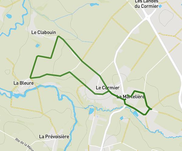
This running route covers 6.561mi starting from Le Poiré-sur-Vie, Vendée. The run is a loop trail and returns to the trailhead. This run is rated as moderate, expect about 10m to complete it. The route has an elevation gain of 7ft and an elevation loss of 66ft.
Anniv
Route details
39.36mph
Speed
114 kcal
Calories burned
Loop trail
Route type
174ft
Min altitude
233ft
Max altitude
Route profile
7ft
Elevation gain
66ft
Elevation loss
174ft
Min altitude
233ft
Max altitude
How to get there
Trailhead: 10 Rue Des Landes, 85170 Le Poiré-sur-Vie, France
GPS coordinates of the trailhead: 46.76027, -1.495785 / 46°45'36'' N, 1°29'44'' W