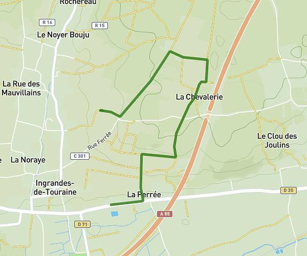
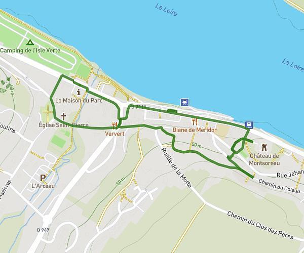
This walking route covers 3.815mi starting from Chinon, Indre-et-Loire. The walk is a loop trail and returns to the trailhead. This walk is rated as moderate, plan for about 1h49m to complete it. The route has an elevation gain of 121ft and an elevation loss of 121ft.
bord de vienne beaumont
Route details
28:34/mi
Pace
445 kcal
Calories burned
Loop trail
Route type
95ft
Min altitude
118ft
Max altitude
Route profile
121ft
Elevation gain
121ft
Elevation loss
95ft
Min altitude
118ft
Max altitude
How to get there
Trailhead: D 749, 37500 Chinon, France
GPS coordinates of the trailhead: 47.17528, 0.20087 / 47°10'31'' N, 0°12'3'' E