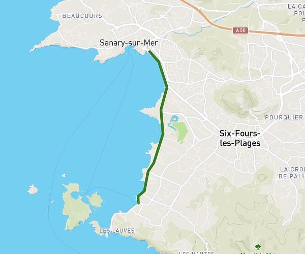
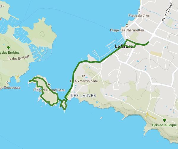
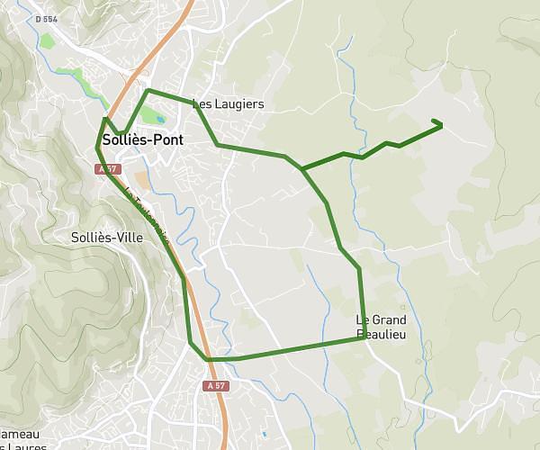
This cycling route covers 52.797mi starting from La Crau, Var. The ride is a loop trail and returns to the trailhead. This route is rated as strenuous, plan for about 4h14m to complete it. The route has an elevation gain of 1903ft and an elevation loss of 1880ft.
Carnoules
Route details
2251 kcal
Calories burned
1.4%
Avg grade
Loop trail
Route type
39ft
Min altitude
1398ft
Max altitude
Route profile
1903ft
Elevation gain
1880ft
Elevation loss
39ft
Min altitude
1398ft
Max altitude
How to get there
Trailhead: Route De Pierrefeu, 83260 La Crau
GPS coordinates of the trailhead: 43.15532, 6.09254 / 43°9'19'' N, 6°5'33'' E