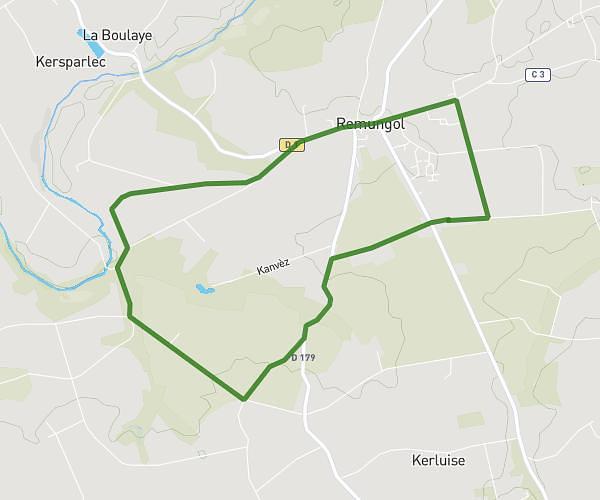
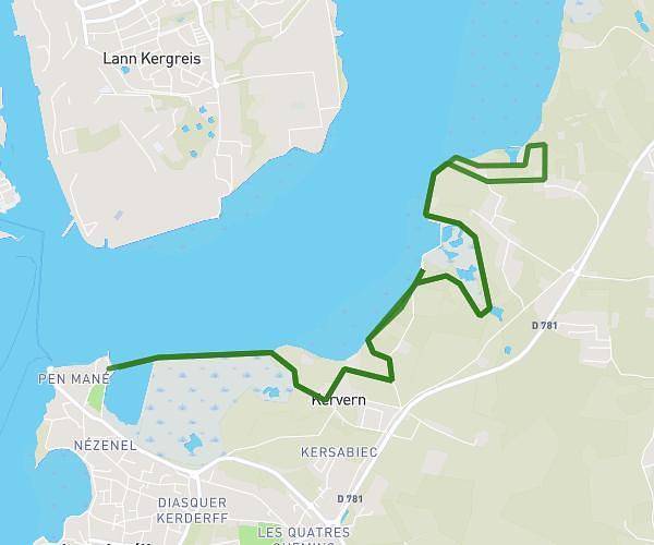
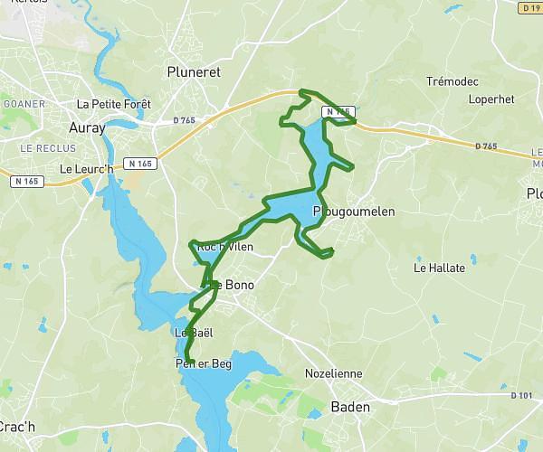
This running route covers 18.442mi starting from Brech, Morbihan. The run does not return to the trailhead and ends near 12 Route De Saint-Dégan, 56400 Brech, France. This run is rated as strenuous, expect about 4h to complete it. The route has an elevation gain of 617ft and an elevation loss of 633ft.
30km
Route details
4.61mph
Speed
2744 kcal
Calories burned
Point to point
Route type
7ft
Min altitude
180ft
Max altitude
Route profile
617ft
Elevation gain
633ft
Elevation loss
7ft
Min altitude
180ft
Max altitude
How to get there
Trailhead: 2 Chemin De Kerliguen, 56400 Brech, France
GPS coordinates of the trailhead: 47.712752, -3.007319 / 47°42'45'' N, 3°0'26'' W