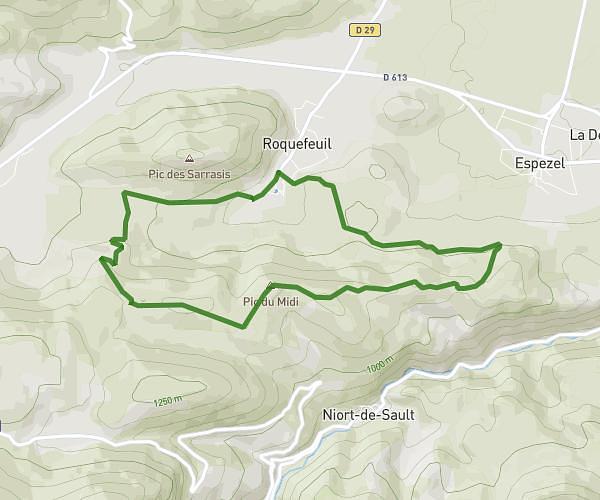
This hiking trail covers 4.534mi starting from Belcaire, Aude. The hike is a loop trail and returns to the trailhead. This hike is rated as strenuous, plan for about 2h38m to complete it. The route has an elevation gain of 1624ft and an elevation loss of 1624ft.
Bouychet
Route details
1.72mph
Speed
1231 kcal
Calories burned
13.6%
Avg grade
Loop trail
Route type
3343ft
Min altitude
4232ft
Max altitude
Steep climb
Route profile
1624ft
Elevation gain
1624ft
Elevation loss
3343ft
Min altitude
4232ft
Max altitude
How to get there
Trailhead: 4 Chemin Du Lac, 11340 Belcaire, France
GPS coordinates of the trailhead: 42.816421, 1.950182 / 42°48'59'' N, 1°57'0'' E