This hiking trail covers 4.136mi starting from Comus, Aude. The hike is a loop trail and returns to the trailhead. This hike is rated as hard, plan for about 2h43m to complete it. The route has an elevation gain of 1627ft and an elevation loss of 1627ft.
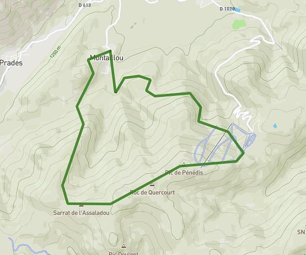
Sarrat de Rouquières
Route details
1.52mph
Speed
1283 kcal
Calories burned
14.9%
Avg grade
Loop trail
Route type
3888ft
Min altitude
5312ft
Max altitude
Steep climb
Route profile
1627ft
Elevation gain
1627ft
Elevation loss
3888ft
Min altitude
5312ft
Max altitude
How to get there
Trailhead: 20 Carrier Dè La Coume, 11340 Comus, France
GPS coordinates of the trailhead: 42.812982, 1.891253 / 42°48'46'' N, 1°53'28'' E