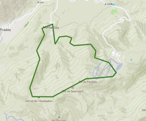
This hiking trail covers 3.924mi starting from Belcaire, Aude. The hike is a loop trail and returns to the trailhead. This hike is rated as strenuous, plan for about 2h39m to complete it. The route has an elevation gain of 1519ft and an elevation loss of 1519ft.
Pic des Rives
Route details
1.48mph
Speed
1249 kcal
Calories burned
14.7%
Avg grade
Loop trail
Route type
3392ft
Min altitude
4718ft
Max altitude
Steep climb
Route profile
1519ft
Elevation gain
1519ft
Elevation loss
3392ft
Min altitude
4718ft
Max altitude
How to get there
Trailhead: 1 Chemin Du Lac, 11340 Belcaire, France
GPS coordinates of the trailhead: 42.815636, 1.949778 / 42°48'56'' N, 1°56'59'' E