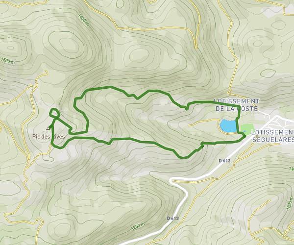
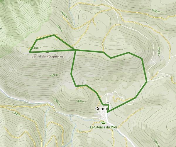
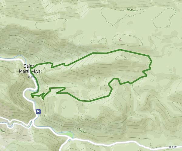
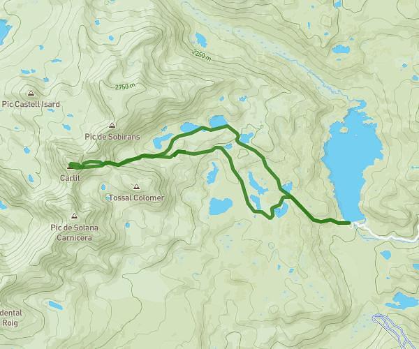
This hiking trail covers 6.989mi starting from Montaillou, Ariège. The hike is a loop trail and returns to the trailhead. This hike is rated as strenuous, plan for about 4h14m to complete it. The route has an elevation gain of 2215ft and an elevation loss of 2211ft.
Crêtes de Montaillou
Route details
1.65mph
Speed
1956 kcal
Calories burned
12.0%
Avg grade
Loop trail
Route type
4137ft
Min altitude
5935ft
Max altitude
Steep climb
Route profile
2215ft
Elevation gain
2211ft
Elevation loss
4137ft
Min altitude
5935ft
Max altitude
How to get there
Trailhead: 45 Ort Barri D'avalh, 09110 Montaillou, France
GPS coordinates of the trailhead: 42.787972, 1.898237 / 42°47'16'' N, 1°53'53'' E